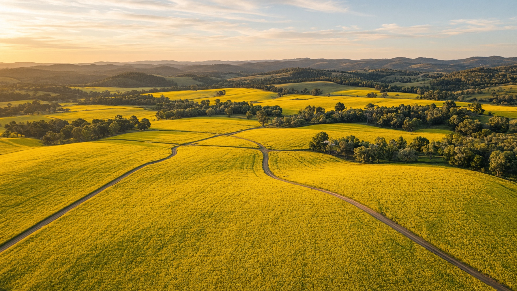
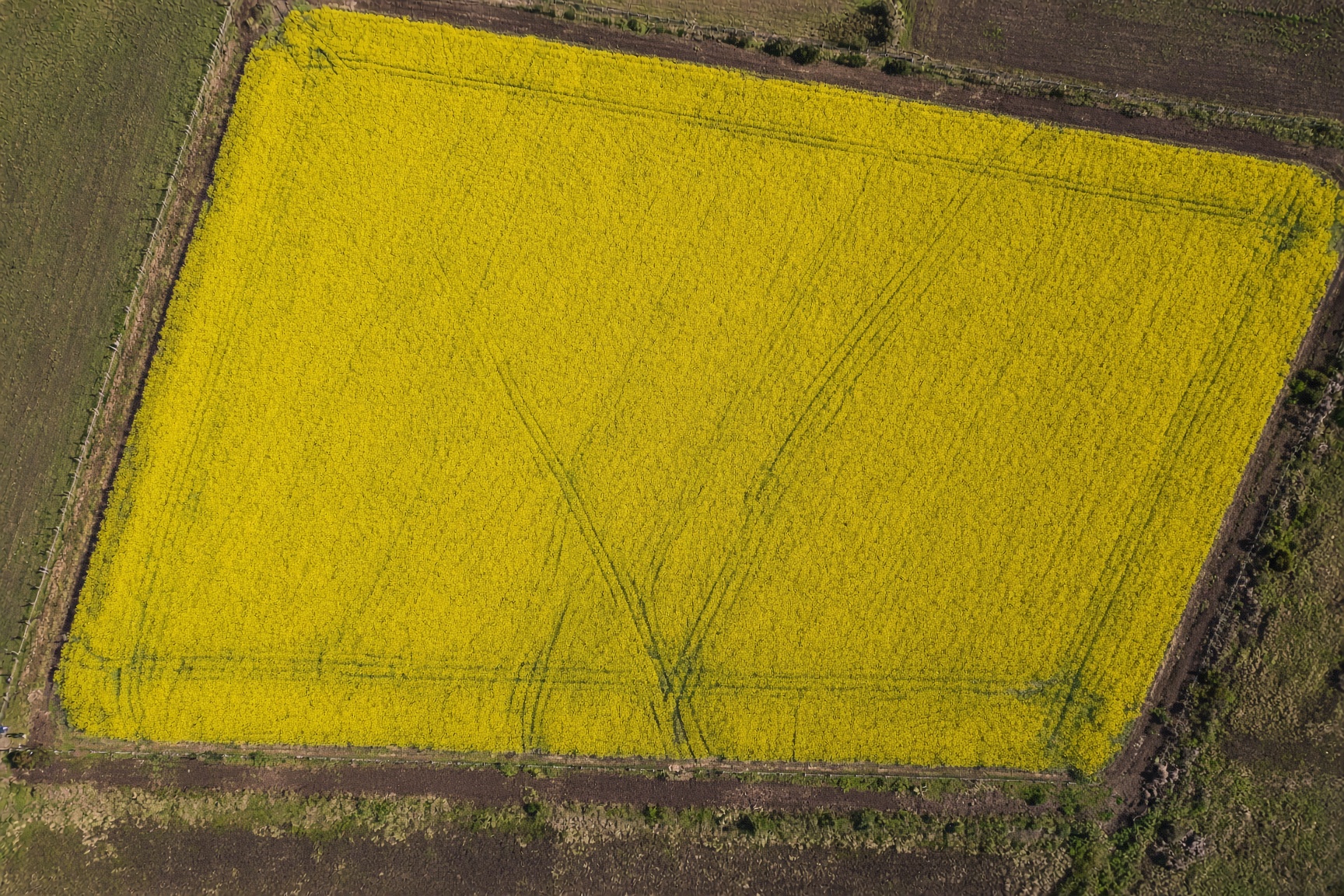
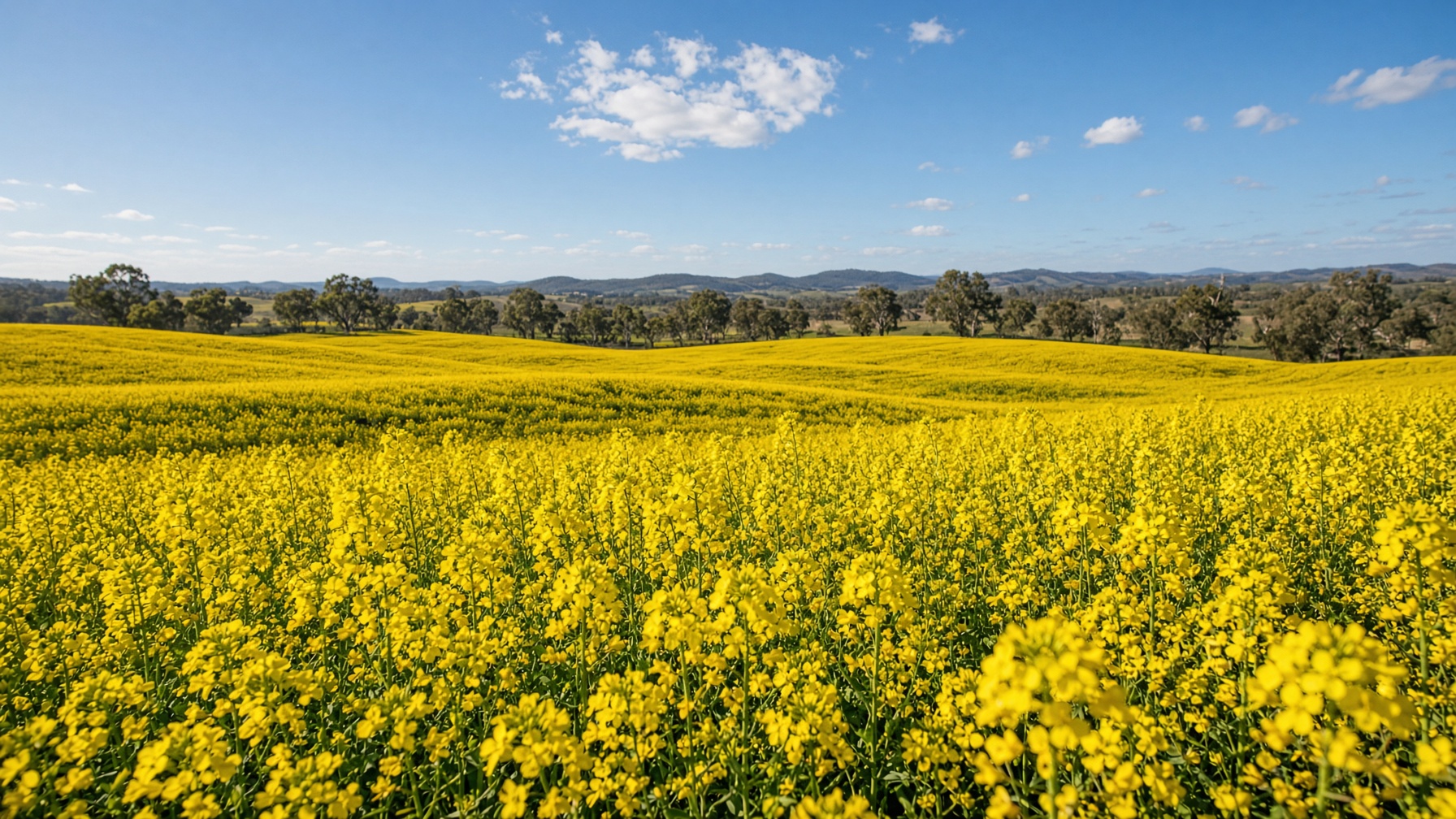
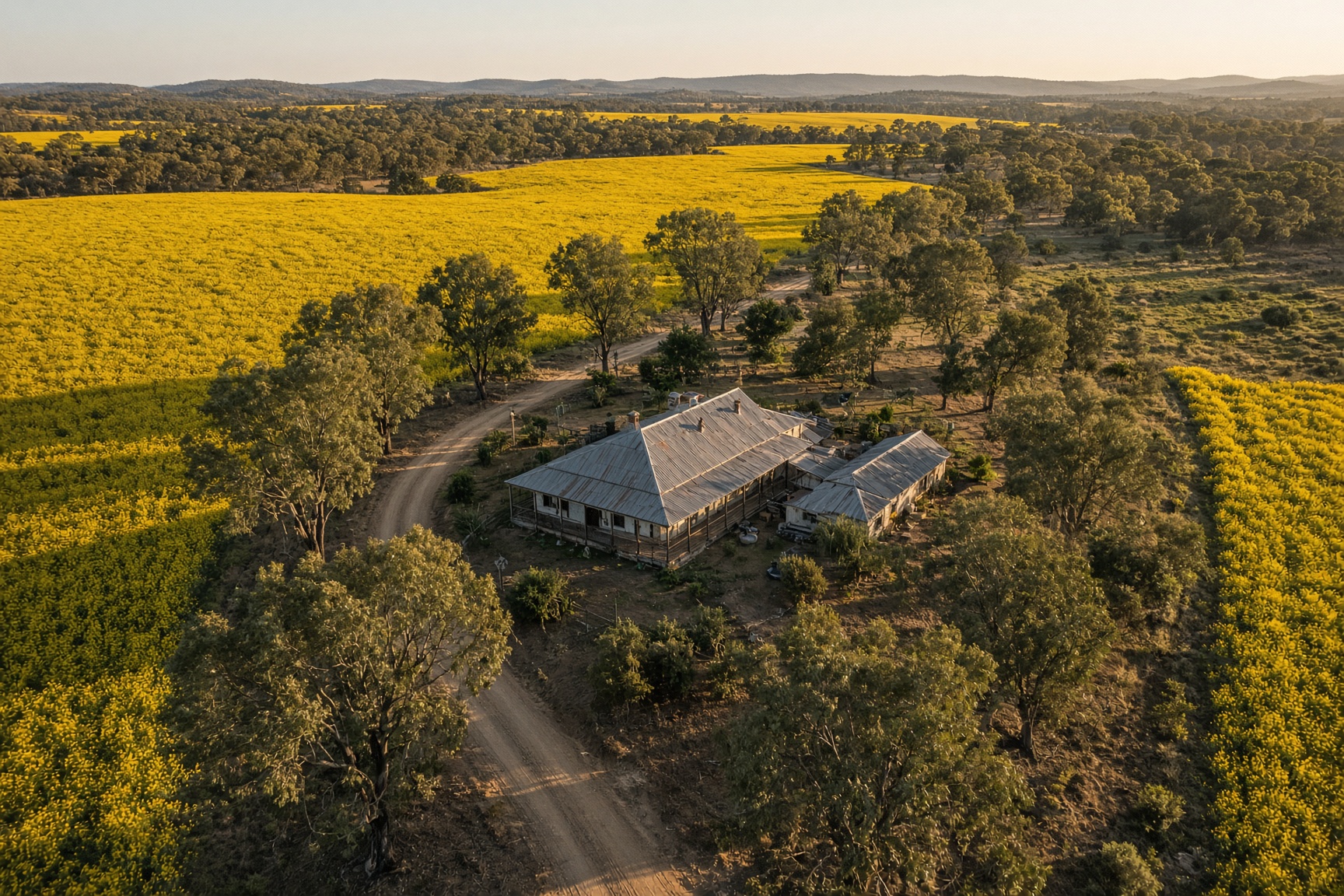
Canola Crops of Central Victoria, Filmed from 400FT.
Print-ready aerial photographs and cinematic 4K film of your paddocks, captured while the gold lasts. Two packages. CASA-licensed. Based in Bendigo, flying farms across Central Victoria.
Both packages include at least twenty professionally edited aerial photographs, delivered print-ready. Aerial Harvest adds a fully edited 4K cinematic piece of your crop.
Photos
Aerial Bloom
$440
Twenty or more print-ready aerial photographs of your canola crop, professionally edited and colour-corrected for Central Victoria farms.
At least 20 aerial photographs
Print-ready high-resolution files
Colour-corrected in Adobe Lightroom
Overhead, flypast, and landscape angles
Web and social crops included
Cloud delivery after the flight
CASA-licensed commercial operator
Inc. GST. Travel included within 150 km of Bendigo.
Most booked
Photos + film
Aerial Harvest
$880
The Aerial Bloom stills, plus a cinematic 4K aerial film of your paddocks, all edited, colour-graded, and ready to publish.
Everything in Aerial Bloom
At least 20 print-ready aerial photos
Cinematic 4K aerial film, fully edited
Colour graded with custom LUTs
RAW D-LOG footage included
Ready for website, social, and promo
Post-production in Adobe Premiere Pro
Inc. GST. Travel included within 150 km of Bendigo.
What’s in the frame
Built like a commercial shoot, priced for a paddock.
Print-ready files
High-resolution, colour-managed stills suitable for large-format prints, magazines, and the farm office wall, not just social crops.
More than one angle
Overhead bird's-eye, low flypasts, homestead context, and landscape frames of canola and Central Victoria farmland. We fly for local farmers.
Timed to the bloom
Canola in Victoria typically peaks August to October. We watch the weather, the wind, and the colour of the crop before we launch.
Edited and delivered
Lightroom for stills. Premiere Pro and custom LUTs for film. Files land in a cloud portal, edited, RAW, or D-LOG as the package allows.
Travel · Central Victoria
We Love Travel
Bendigo Aerial is based in Golden Square. Travel is included within 150 km of Bendigo. Everywhere else is charged at $0.50 per kilometre from Bendigo, measured to your farm.
The included zone covers Bendigo, Echuca, Shepparton, Maryborough, Castlemaine, and Daylesford. Permits and landowner approval are arranged before we take off.
Bendigo & surrounds
Included
Bendigo, Echuca, Shepparton, Maryborough, Castlemaine, Daylesford, within 150 km of Bendigo
No travel surcharge on either package inside 150 km of Bendigo.
From 400 feet
Paddock Becomes a Sea of Gold
Dynamic flypasts, overhead bird's-eye frames, and landscapes you cannot see from the gate. Aerial photography of canola crops and Central Victoria farms, processed for print.
How a job runs
Licensed, Insured, Local Business
01
Book
Call, WhatsApp, or send the form. We confirm the paddock, the package, and a weather window.
02
Clear
Job safety analysis, CASA airspace, and landowner permission. We do not launch without them.
03
Fly
CASA certified pilots, a serviced RPA/UAV fleet, and the photo angles that make canola crops look great.
04
Deliver
Edited stills, and film on Aerial Harvest, via a cloud portal. Print-ready. Revisions on the stills. Ready within 24 hours.
“Whether I’m shooting a sweeping rural landscape or a paddock from 400 feet up, the goal stays the same. Capture the moment.”
Book a flight
Contact Us - Spots Limited
Send this through and it opens WhatsApp with your details ready to send. Prefer a call? We answer 03 9016 9437.